Rheinquelle
The Source of the RhineLast Blog | Index | Next Blog
Fifty | Garden | Ninety | Rheinquelle | San Gottardo | Teufelbrücke | Twenty-Five
6 June 2022
We started out Saturday afernoon from Oberalppass (2046m), where we laft our car and got drinks before heading out into the wilderness. For some reason we have been talking about this hike since Iwona and I got together, but it's only open a few months of the year because of snow. Paula was also happy to be out of the car and running up and down the hillside as we set out. She really has no fear of heights. Shortly we sighted the river itself: the Rhine, or more precisely the Rein da Tuma because it flows down from the Lai da Tuma. The other branch, Rein da Maighels flows on the other side of the mountain Piz Cavradi. The two branches used to meet down below in the town of Tschamut, but since a damn was built to fill a canyon on the Rein da Maighels the water flow of the Rein da Tuma has been diverted under the mountain to this resevoir, the Lai da Curnera.

All this hydroengineering meant that Saturday we were very confused seeing the Rhine river (which was the Rein da Tuma) disappear halfway down the mountainside. Nevertheless we trekked onward and upward toward our goal, the Lai da Tuma (2344m). Neither snowfields nor a thunderstorm stopped our progress and fortunately the rain ended as we ariived so I could go for a swim in the freezing cold snowmelt at the source of the Rhine!

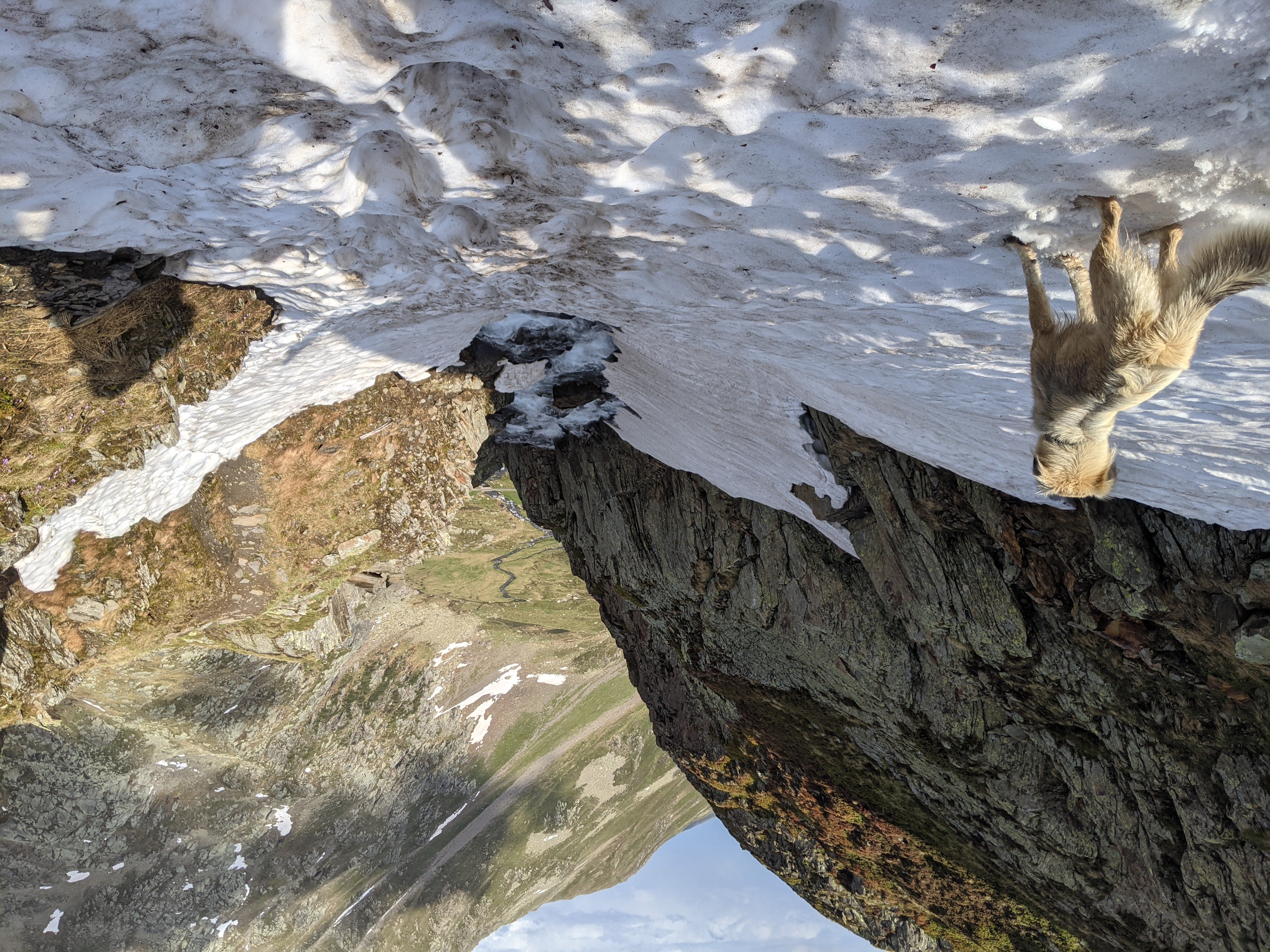
Our next stop was the hütte where we planned to spend the night, but first we had to cross a treacherous snowfield perched atop the Rhine. I sent Paula first as the footprints through the snow were of an indetermiate age. She only weighs 10 kg though, so I'm not sure how useful that was to gage the safety of my 100 kg + rucksack. None of us slipped down the snowfield into the Rhine as it flowed down the cliffside however, so before long we found ourselves down and across the valley making our way up to the Camona da Maighels hütte.

Swiss hütte differ from Norwegian hytte in the quality of amenities. Woodburning stove and bunkbeds were expected. Having indoor plumbing, a fully stocked cabinet of drinks and snacks, and electricity for lighting and to charge our phones was a pleasant surprise. We spent a quiet night there with one other young couple drying out our clothes. They had planned to camp, but not for rain, so the hütte was a lucky break for them. After a relaxing morning we headed out over the Lolenpass (2399 m), chosen because it reminded me of Alora's nickname, Lolo. The signage is quite confusing. The Rhaetoromansch name for it is Pass Tagliola, so that is what they use in Graubunden where we started. However the pass itself is in Uri, so when you get there it's the Lolenpass. And hour after hour the signs kept telling us that Andermatt was just getting further away. 2 3/4 hrs at the start of the pass 3 hrs 10 minutes away when we reached the top of the pass. 2 hrs away when we reached the Unteralpreuss River. Why don't they give distances?

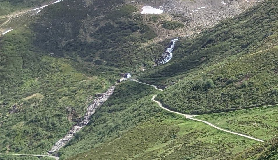
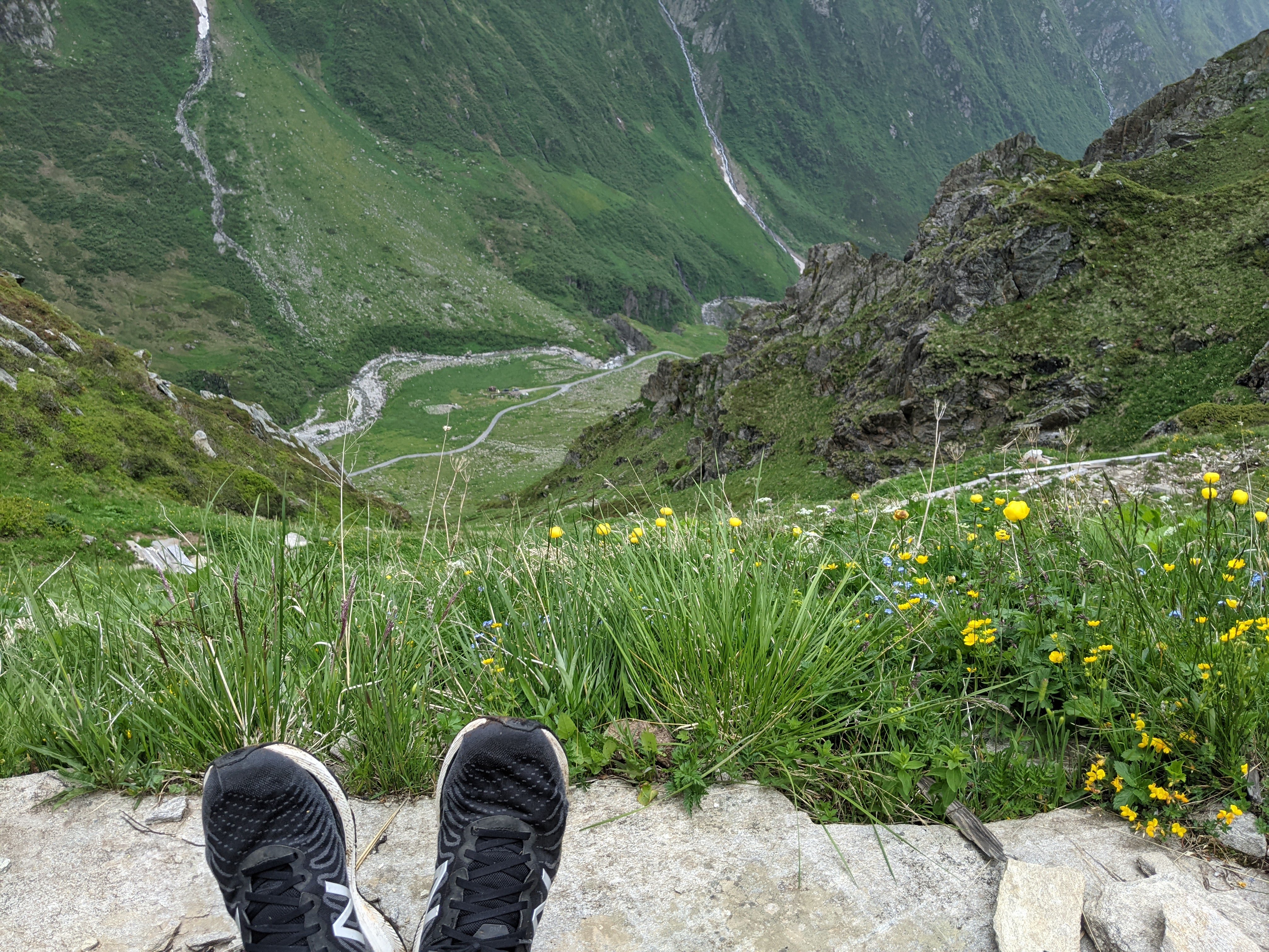
Coming down from the pass was one of the scariest hikes I have done as we descended 400m down switchbacks on the side of a cliff. And then in the valley a thunderstorm fell upon us until we were rescued by a family of beekeepers who drove us the rest of the way through the valley to Andermatt. That night we really slept hard!
Today, being a holiday, we continued our tour of the region by first taking the train up to collect our car at Oberalppass. Then it was on to the world famous St. Gotthard Pass (2106 m). Because it is one of the easiest and most direct routes it has been a European thoroughfare for millennia. Celts, Phoenicians, Germans, and others all streamed over at various times to the promise of Italia below, and Roman armies streamed the other way and conquered Europe. In the 20th century this led the Swiss to build a huge fortress inside the mountain guarding the pass, which is now open to the public as a museum.
